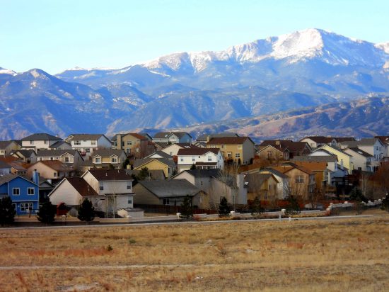
…and yet, five of the fastest growing states in America include Arizona, Nevada, Colorado, Utah and New Mexico…go figure.
Click Here to Read More…
Posted in Uncategorized.
Excerpt:
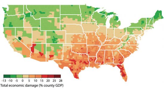
Climate change is real, and it’s impacting us far beyond just making the planet warmer. Researchers and economists at the Climate Impact Lab have created a map showing how climate change will affect different counties from now to 2099, with areas near oceans and the South being affected the most, reports NPR.
Using data on how heat waves and drought changed the American economy from 1981 to now, they were able to predict how climate change would affect the economy if it continued at its current rate. According to the data, the US’s gross domestic product could fall 3 to 6 percent by 2100.
Click Here to Read More…
Posted in Uncategorized.