From TakePart: How Mountain Bikers Are Saving the World by Mapping It
SOME EXCERPTS:
‘I’m in Bears Ears with a dozen mountain bikers from a company called Adventure Projects, which REI purchased last year, the retail co-op’s first-ever acquisition. Adventure Projects, cofounded by 44-year-old Nick Wilder, produces GPS-based trail guides that users can access through sport-specific smartphone apps. So far, the four-year-old outfit, based in Boulder, Colorado, has mapped 24,546 rides in 30 countries, totaling 87,096 miles, for mountain biking. (The company also covers climbing, hiking, running, and backcountry skiing.) Wilder’s users contribute routes, typically using the GPS function on their smartphones to track rides and then uploading the data to the Adventure Projects website. Wilder and his wife, Megan—along with their family and friends (including myself)—have helped map hundreds of trails. Yet the area around Bears Ears was largely blank space on Adventure Projects’ mountain-biking app, called MTB Project, which prompted Wilder to bring most of his staff from Boulder to Utah to investigate potential new trails. The motivation wasn’t solely to beef up the database. “There’s lots of evidence that when people care about a place, they want it protected,” Wilder tells me. His users, devoted to outdoor recreation, have garnered support for conservation efforts in areas with popular rock-climbing and mountain-biking routes.
‘Bringing more riders to Bears Ears, the thinking went, would get people excited about the area—and, with luck, encourage them to back efforts to preserve it.
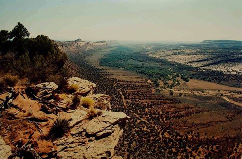
‘I want that relationship with Bears Ears too. But it’s not going to come without effort. Another trail that looked promising on Google Earth—it follows the south rim of a place called Texas Canyon—turns out to be a crumbling jeep track riddled with washouts and near vertical switchbacks. In two miles, we carry our bikes up a half-dozen pitches that are too steep to ride. I’m certain that at any moment we’re going to emerge from the woods for a big payoff. So is Ahnemann, who pedals furiously and urges us forward. “Just one more corner, guys,” he says. “I keep hoping the trail will reap a reward.” It doesn’t, despite a map I’m carrying that clearly shows the canyon directly in front of us.
‘That our fancy GPS-enabled smartphones provide such limited guidance in our efforts to plumb Bears Ears underscores why the Anasazi settled here in the first place. Its inaccessibility was their greatest defense.’
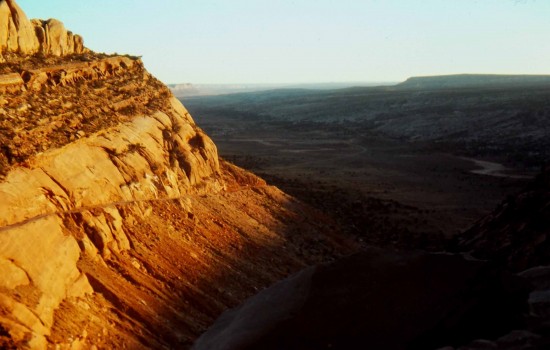
‘…During my trip with the Adventure Projects team, we mapped 177 miles of trails in the Bears Ears region. The hiking was spectacular—from deep canyons to wide vistas to exceptional historical sites—and we rarely saw another human. As for mountain biking, Wilder notes, “There’s very little singletrack, and what exists is quite challenging. On the other hand, if you don’t mind gravel-grinding on dirt roads, you can cover a lot of beautiful scenery.” We found many of the routes nearly impossible to bike. Even so, Bears Ears has tremendous potential—especially if it becomes a national monument, which would bring in the kinds of resources and person-power required to develop the area into a world-class mountain-biking destination.
‘…there are mysteries even tribal elders like Grayeyes cannot explain. For starters, I’m bewildered by the utter lack of insects: Nothing buzzes in Bears Ears.’
Click Here to Read More…
