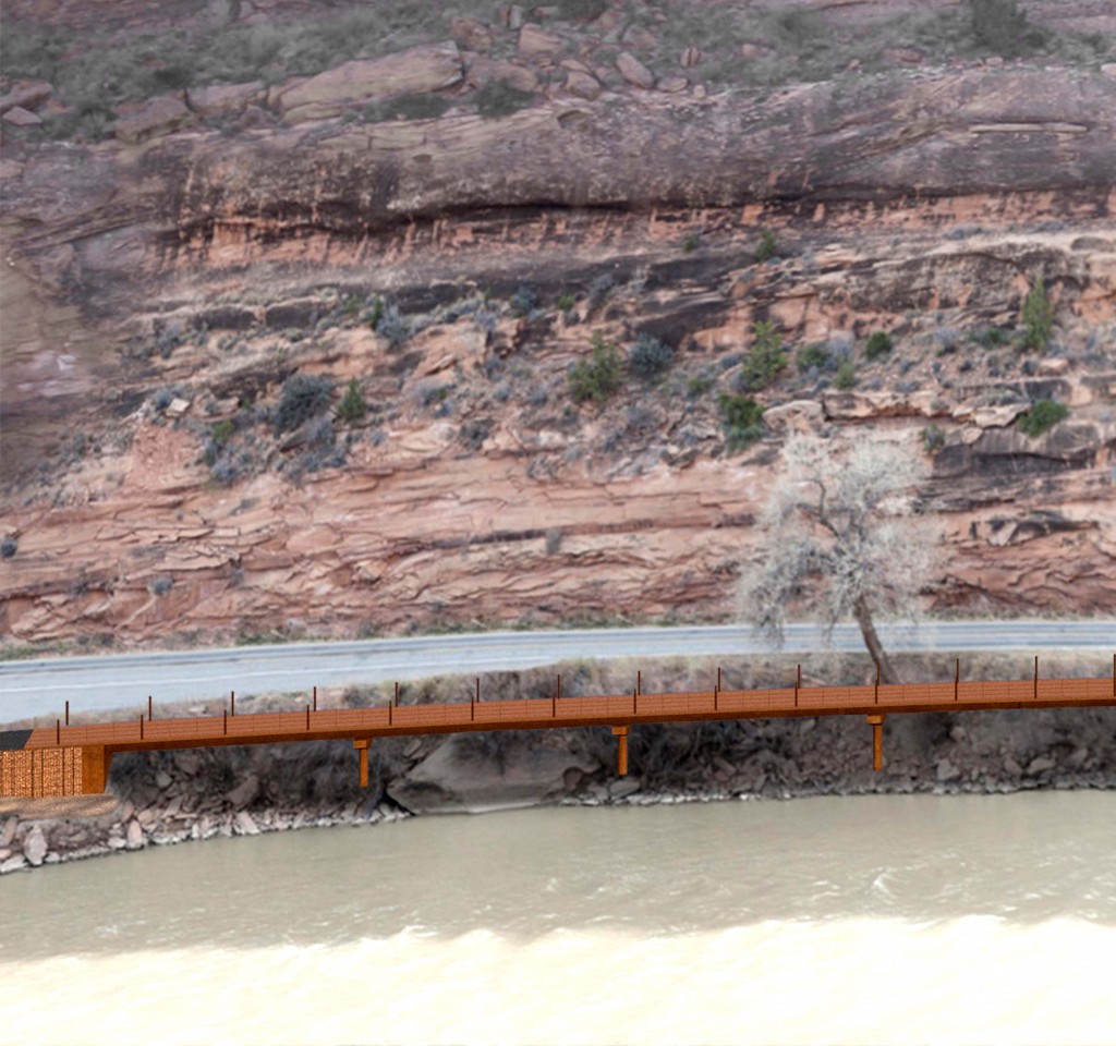
Above is a computer generated image of a small section of the Moab/Colorado River Elevated Bikeway. Though we’ve been unable to get a number from people involved in the project, our best guess, based on an examination of the river bank, is that about a mile and a half of elevated bikeway will be required to complete the trail. (We welcome more detailed information from those we’ve contacted when you can make it available) The image is courtesy of Horrocks Engineering in Salt Lake City.
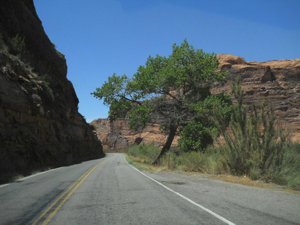
Below you can see the same cottonwood tree, as it appears now, adjacent to Hwy 128.
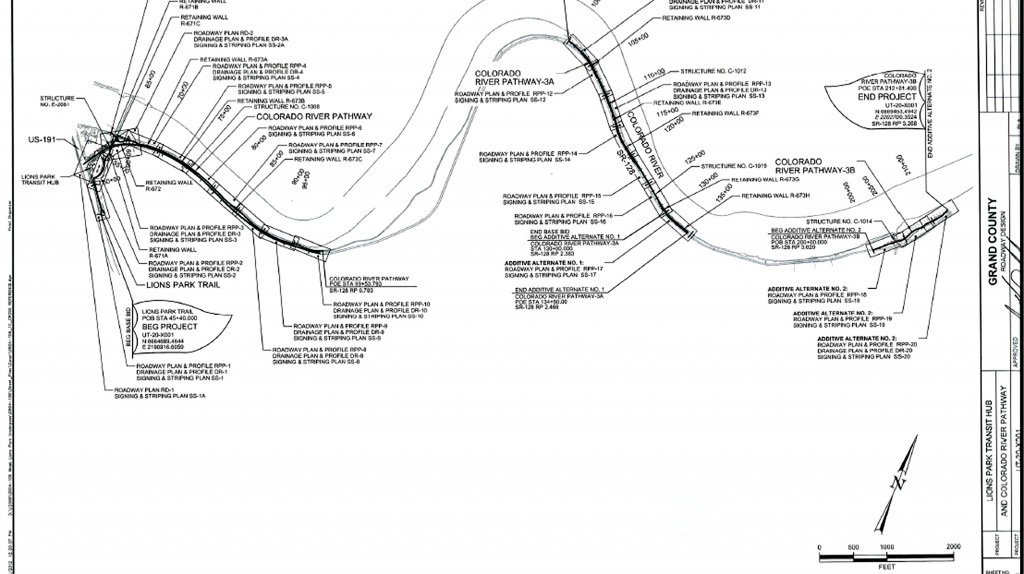
The bottom graphic is an architect’s map of the bikeway, from its beginning at Lions Park to its terminus at the junction with the Porcupine Rim Trail. When funding is available, plans are underway to extend the bike trail to Negro Bill Canyon. Beyond that…who knows…JS
more…
TO READ THE MOAB SUN NEWS STORY ABOUT THE ELEVATED BIKEWAY CLICK HERE
AN EXCERPT: ““The plan is not a simple one. The elevated concrete paths are built like bridges with girders and decks. Holes will need to be drilled for piers. A crane, which will take up both lanes of traffic, is needed to place the girders and decks.”








One Response
Stay in touch with the conversation, subscribe to the RSS feed for comments on this post.
If the main project and 2 added alternatives are built the total elevated section of the trail will be 2,322′ or .44 of a mile. You can located these structures on the drawing you have: Structure C108 is 985′, C112 is 545′, and C119 is 792′.
The total trail, if phase 3 is constructed (currently an added alternative in the bid), will be about 2 3/4 mile long, including the Goose Island part which is already built. There will however, still remain about a .5 mile gap just before Negro Bill. Also, if the added alternatives are feasible, we plan an 88′ bridge over the outlet of Negro Bill.